About Village
Perumkadavila is a village in Neyyattinkara Taluk in Thiruvananthapuram District. It belongs to Perumkadavila Grama Panchayat in Perumkadavila Block Panchayat. It comes under Parassala Legislative Assembly Constituency. Resurvey was completed in this village in 1994. This village contains lands coming under ReSurvey Block Numbers 25 and 26pt. Total area is 1759 hectares. Most of the places in this village are plane areas. Ponds, thodu, canals and rocky areas are also present. Neyyar river, which is the south-most river in Kerala State, flows through this village. Cave pictures, probably by Neolithic people, are found in Pandavanpara, located in this village. The name of this portion of land, before Marthanda Varma became the ruler of Travancore, was Thenganad.
Demography
Total population of this village is 23580 with 11495 males and 12085 females as per 2011 Census Report. The residents of this village include mainly farmers, daily labourers and small-scale traders. The majority of the people are middle-class and belong to normal living standards.
Geography
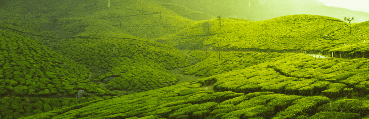
Most of the places in this village are plane areas. Ponds, thodu, canals and rocky areas are also present. Neyyar river, which is the south-most river in Kerala State, flows through this village.
Socio-Economic
The majority of the people in this village are farmers, daily labourers and small-scale traders. They belong to normal economic living standards. This village comprises plenty of small-scale business shops and hotels.
Ecology
The climate here is normal. Most of the places are plane areas. Ponds, thodu and canals are also present. Neyyar river, which is the south-most river in Kerala State, flows through this village.