
About Village
muppainad village office is in vythiri taluk ,wayanad district, kerala.There are 16 panchayath wards in muppainad village
Demography
most of the population are estate workers working in harrison malayalam tea plantation,podar tea plantation they are residing at estatepady. total population 26125 female13087,male 13037 transgender1.population consists of sc/ST ,kattunaikar, cholanaikar .They follow different culture and tradition ,they perform folk dance like vattakali,chavittukali thudi etc on special occassion
Geography
Latitude -11.554161N Longitude-76.2252E the altitude of land is between 600-950 M .the geographical area is between Goa-Nilagiri Cambriyal east Peninisular .The DM medical college is in MUppainad village
Socio-Economic
the main source of income is agriculture.the crops like coffee ,pepper cardmom,tea are seen most of people are the workers of tea plantations.Their living conditions is very pathetic,accomodation facility is very poor .so they are prone to different communicable disease
Ecology
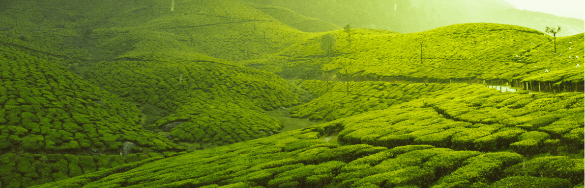
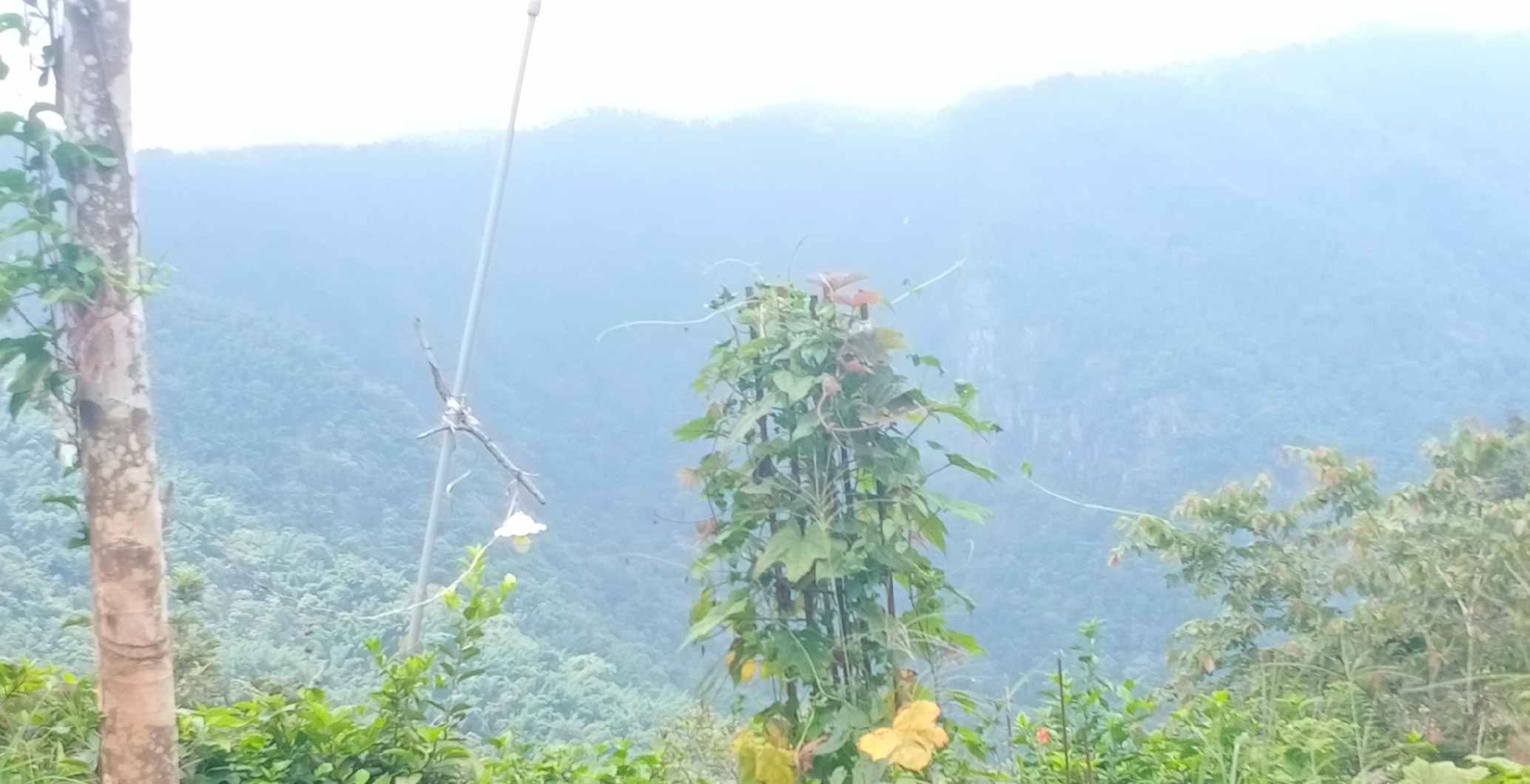
the land of muppainad village is blessed with bio-diversity.The Nilagiri hills,forests,rivers and streams,valleys are seen.the soil is red and black soil ,alluvial soil.The highest hill is Neelimala and the altitude is 938 M.The important rivers are kanthampara,Karapuzha .Muppainad village is the catchment area of Kabani,Chaliyar rivers. Most of land area is ecologically fragile land with different type of wild animals
Tourism
important tourist places are kanthampara, waterfalls neelimala, sunrise wally,meenmutty waterfalls. muppainad village is near to kerala-Tamilnadu boarder.Choladi river separates Kerala _Tamil nadu flowing 5 km away from village office,muppainad