About Village
Kottathara is located near Kambalakkad town on Kalpetta - Mananthavady route. Venniyode is a small township which is located on the link road between Kamblakkad and Padinharathara.
Demography
According to Census 2011 information the location code or village code of Kottathara village is 627326. Kottathara village is located in Vythiri Tehsil of Wayanad district in Kerala, India. It is situated 25km away from Kalpetta, which is both district & sub-district headquarter of Kottathara village. As per 2009 stats, Kottathara village is also a gram panchayat. The total geographical area of village is 3224 hectares. Kottathara has a total population of 17,295 peoples. There are about 3,920 houses in Kottathara village. Kalpetta is nearest town to Kottathara which is approximately 15km away.
Geography
The total geographical area of village is 3224 hectares
Socio-Economic
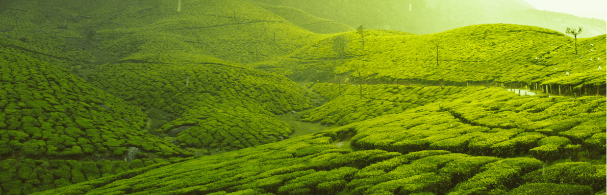
Agriculture is the main activities of the people
Tourism
no tourist places