About Village
Mokeri Village is a combination of the Kadepram land and the Valliyayi land of the Panoor section of the Kottayam (Kottayam) dynasty, which was part of the Kolath Nadu. Most areas of Mokeri were waterlogged. Such areas were called Eri in Tamil. The Mokayans area was called Mokeri because the Mokayans, who were engaged in fishing, lived in the area. At the same time, there is an argument that the word Mukhayeri is missing from Mokeri as it is the face of the lake.
Demography
As per Census 2011, Population was 19,684 Female 10645 Male 9039
Geography
Mokeri Village covers an area of 10.53 sq km Boundaries North: Pathipalam River, Pattiam Village East: Puthur Village South: Punchathodu, Panoor Municipality, Panniyannur Panchayat West: Chatala Puzha Kathirur Village
Socio-Economic
Mokeri Grama Panchayat covers the same area as Mokeri Grama Panchayat. Mokeri falls under the Koothuparamba Assembly constituency and the Vadakara Lok Sabha constituency. Major Government Institutions Grama Panchayat Office, Krishi Bhavan, PHC, Veterinary Hospital, Homoeo Dispensary, Ayurveda Dispensary Main Library National Library Mokeri Major schools Govt. UP School Mokeri Govt. LP School Mokeri Rajeev Gandhi Memorial Higher Secondary School Mokeri
Ecology
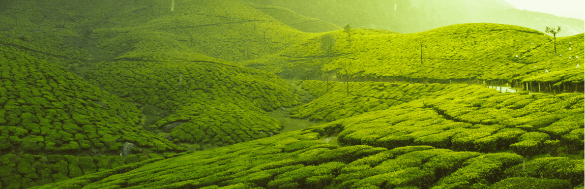
The landscape of Mokeri is full of hills and valleys. The eastern region of Vallayi was relatively high and in the past was a forested area. To the west is Mokeri, a land of streams, fields and water bodies. The river originates from Cheruvanchery east of the East Vallyayi wooden bridge and flows along the Patyam-Mokeri village boundary. It is also known as Pathipuzha and later as Chatala river.
Tourism
There are no tourist areas