About Village
Neyyattinkara Village is the headquarters of Neyyattinkara Taluk which is the southmost Taluk in Thiruvananthapuram District and in the entire Kerala State. Neyyattinkara, a major industrial and commercial area, is a Municipal Town located about 20 km to the south of Thiruvananthapuram City, the capital city of Kerala State. The town is situated on the banks of Neyyar River, and hence its name. Neyyatinkara in Malayalam language literally means the shore of the river Neyyar. Neyyar River is one of the principal rivers in Kerala State which is also the south-most river in the State. This village is comprised of 22 wards of Neyyattinkara Municipality. It comes under Neyyattinkara Legislative Assembly Constituency. Resurvey was completed in this village in 1998. This village contains lands coming under ReSurvey Block Numbers 22 and 23 and Town Survey Block Numbers 16, 19B, 20, 21, 22, 25 to 40, 49 to 66 and 83 to 97. All of the village area comes under Neyyattinkara Municipality. Total area of this village is 996 hectares. Most of the places are plane areas. Ponds, canals, thodu, paddy fields and agricultural lands are also present. Neyyattinkara is the second most densely populated municipality in the district after Varkala. People living here are predominantly farmers, daily labourers and small-scale traders. They belong to normal economic living standards. The majority of government offices in the taluk such as Taluk, RR, LA(NH), Resurvey & Civil Supplies offices and many more are situated in this village. Many schools, clinics, small hospitals, religious institutions, hotels and small-scale trade shops are situated in this village. General Hospital, Neyyattinkara, which the major government hospital in the taluk is situated in this village. National Highway from Thiruvananthapuram to Kanyakumari and the Railway line from Thiruvananthapuram to Nagercoil pass through this village.
Demography
Neyyattinkara is the second most densely populated municipality in the district after Varkala. People living here are predominantly farmers, daily labourers and small-scale traders. They belong to normal economic living standards.
Geography
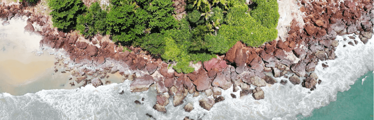
Most of the places are plane areas. Ponds, canals, thodu, paddy fields and agricultural lands are also present. Neyyar River, which is one of the principal river in Kerala State and the southern most river in the state flows through this village. This river originates from Agasthyarkoodam, the highest peak (1868m above MSL) in southern end of the Western Ghats.
Socio-Economic
Neyyattinkara is the second most densely populated municipality in the district after Varkala. People living here are predominantly farmers, daily labourers and small-scale traders. They belong to normal economic living standards. Many schools, clinics, small hospitals, religious institutions, hotels and small-scale trade shops are situated in this village. General Hospital, Neyyattinkara, which the major government hospital in the taluk is situated in this village. National Highway from Thiruvananthapuram to Kanyakumari and the Railway line from Thiruvananthapuram to Nagercoil pass through this village.
Ecology
Climate in this area is normal. Most of the places are plane areas. Ponds, canals, thodu, paddy fields and agricultural lands are also present. Neyyar River, which is one of the principal river in Kerala State and the southern most river in the state flows through this village. This river originates from Agasthyarkoodam, the highest peak (1868m above MSL) in southern end of the Western Ghats. This river originates from Agasthyarkoodam, the highest peak (1868m above MSL) in southern end of the Western Ghats.
Tourism
The historical Sreekrishna Swamy Temple is situated in Neyyattinkara Town beside the National Highway. A beautiful park in the name of Swadeshabhimani Ramakrishnapilla is also situated nearby, which adds to the beauty of the town.