About Village
Vellad Village Office came into existence on 22 nd June November, 1981.Vellad village office is located at Karuvanchal town in Taliparamba Taluk. Getting there Nearest railway station: Kannur, about 39 km away Nearest airport: Kannur International Airport, about 59 km
Demography
There are 25875 People living in this Village, 12985 are males and 12890 are females as per 2011 census.
Geography
Vellad village situated on the State Highway and hill highway connecting Taliparamba and Manakkadavu and is around 40 km from Kannur . ais known for its greenery, fertile soil and good The boundaries a are: East – Naduvil village West – Thimirivillage North – Alkkode village South – Kooveri village Situated at a height of about 1500, feet above sea level,
Socio-Economic
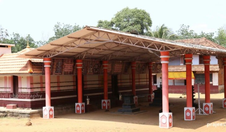
The cultural heritage of vellad village embodies the whole essence of Indian culture. Coexisting with Hindus, Christians and Muslims, it has a modern culture that combines the customs and beliefs of all these religions. In the early days of the Village, the area was predominantly Hindu. But as a result of immigration today, Christians are in the first place, Hindus in the second place and Muslims in the third place in the population. Among the Hindus, the adivasis Karimpalan and Mavilan are also present.
Ecology
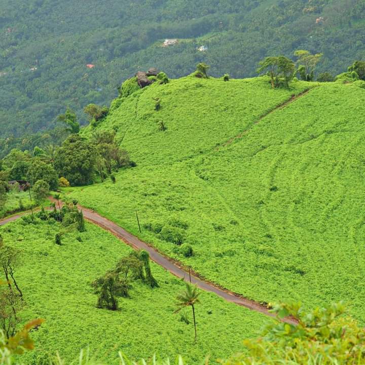
Vellad is hybrid land is blessed with hills, slopes, wide valleys, swamps. Vellad is hybrid land is blessed with hills, slopes, wide valleys, swamps. Vellad is a land of hills and valleys. Vellad is an area of up to 1000 m above sea level and is rich in diverse landscapes. Various food cash crops are being cultivated in the village areas of agricultural importance. The village area is blessed with natural streams, creeks and other bodies of water.
Tourism
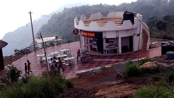
Palakkayam Thattu is one of the best offbeat locations in vellad village which holds the power to mesmerize its visitor with enthralling views of mountains all around it. It is advisable to avoid traveling during the rainy season as it can lead to roadblocks and you might not be able to enjoy sightseeing. An invigorating 6 km trek, a trail interspersed with rare endemic species, waterfalls and a panoramic view of neighbouring Karnataka are some of the primary attractions of the magnificent hill station of Pythal Mala or Paithalmala in Kannur district. One of the highest peaks in Kannur, this enchanting hill station is located about 65 km from the main town and about 4,500 ft. above sea level. One must traverse a good distance to reach this quaint spot; but the payoff is immediate, as vouched by many a trekking aficionado. Monsoon and summer are considered to be the best time to explore the beauty of this hill station. Trekkers also can have a dip in the cool waters of Ezharakundu Waterfalls on the way.


