About Village
The region is administered by the Mangalam Grama Panchayat. It is composed of 20 wards.[5] The Panchayat is bounded by Vettom and Thalakkad to the north, Triprangode to the east, Purathur to the south and Arabian Sea to the west.[1] Kunjutty of IUML is the president of mangalam Panchayat.[5] Mangalam comes under Thavanur (State Assembly constituency), which comes under the Ponnani (Lok Sabha constituency).Mangalam was a part of the Vettathunad in the medieval period, like most of the other villages in the Tirur Taluk.[6] Vettathunad, also known as the Kingdom of Tanur, was a coastal city-state kingdom in the Malabar Coast. It was ruled by the Vettathu Raja, who was a dependent of the Zamorin of Calicut. Vettathunad was known for its trade relationship with the Arab merchants in the medieval period. The Kshatriya family of the Vettathu Rajas became extinct with the death of the last Raja on 24 May 1793. [6] It was a part of the Malabar District during the British rule. Vallathol Narayana Menon, a renowned Malayalam poet, was born at Mangalam. The family of Mohammed Abdur Rahiman also traces back to here. Mangalam Grama Panchayat, the local administrative body of the region, was formed on 30 September 2000 by bifurcating the Vettom Grama Panchayath.[1]
Demography
As of the 2011 India census, Mangalam had a population of 33,442 with 15,754 males and 17,688 females.[7] The literacy rate of the village in 2011 was 91.51%.[4] Malayalam is the most spoken language. Mangalam has been a multi-ethnic and multi-religious town since the early medieval period. The Muslims form the largest religious group, followed by Hindus. Transportation
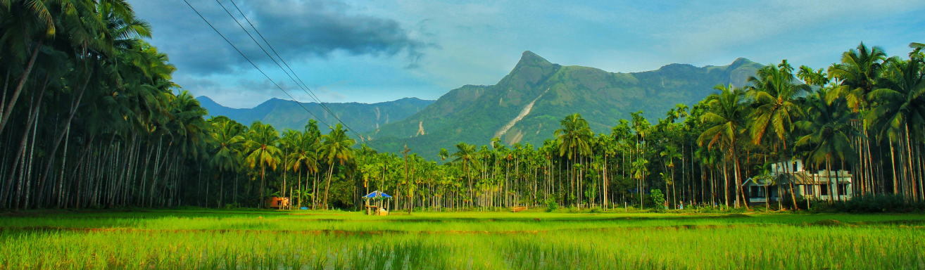
Geography
Mangalam is located at 10.845°N 75.919°E. The Tirur River, which flows through the village, divides the village into two parts - the coastal Kootayi on the western part and the Mangalam-Chennara town on the eastern part. Kootayi is better known for its beach and is one of the major fishing centres in the district. Mangroves are seen in the coastal area.
Socio-Economic
socio-economic activities are being conducted in each and every year by different cultural societies
Ecology
village area is comprised of fully plane area having coconut tree paddy land and blessed with purathur tirur river and "kandal kad" in pulllooni
Tourism
Welcome to the location finder of Kerala Tourism. Here you can find places and locations in Kerala with distance from the nearest town and route map. Around 22,000 places have been listed in the service. You can find a place by using the search facility or through alphabetical listing.koottayi bridge, perumthiruthi hanging bridge, vallathol ancestral home,etc are special in nature