


About Village
Neriamangalam is a rural village, belongs to Kavalangad gramapanchayath,Kothamangalam taluk, Ernakulam district,Kerala. The village office is situated at Neriamangalam near Jawahar Navodaya Vidhyalayam.It shares the boundaries of Kanjikuzhi, Vannappuram and Mannamkandom villages of Idukki district , Kadavoor, Kuttamangalam, Keerampara and Kuttampuzha villages of Kothamangalam taluk.Village established in1987.
Demography
Neriamangalam village population is 15994 as per census 2011.Parliamentary constituency- Idukki. Assembly constituency - Kothamangalam.
Geography
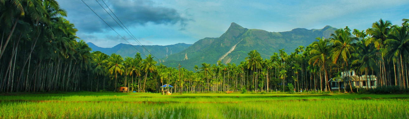
Neriamangalam is situated in Kothamangalam Taluk of Ernakualm district in Kerala state. 20 Km from Kothamangalam.Neriamangalam village is located in the eastern border of Ernakulam district very near to Idukki district. The total geographical area of village is 2848.8553 hectares. Boundaries are East: Kanjikkuzhi village in Idukki district, South: Vannappuram village in Idukki district and Kothamangalam river,West: Kuttamangalam village and Keerampara village,North: Periyar river.
Socio-Economic
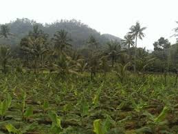
The economic structure mainly dependent on agriculture.Rubber, coconut, cocoa are the main crops.Lots of people as a sub occupation raising cow for milk production.Farmers in the hilly region and near to the forest region of this village are not able to cultivate profitably due to continuous crop menace by wild animals.
Ecology
Village is made up of hills, Slopes and valleys.
Tourism
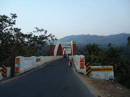
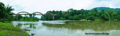
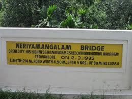
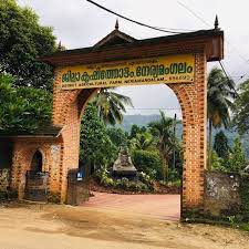
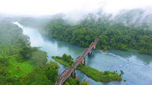
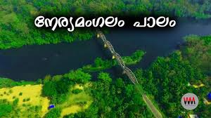
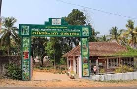
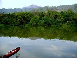
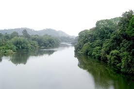
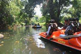
Neriamangalam arch bridge in Kochi-Madurai-Dhanushkodi NH-85 connect Ernakualm and Idukki districts. District agricultural farm situated in Neriamangalam village. Neriamangalam is known as the gate way of highrange. The river Periyar flowing the North side of the village.