About Village
Karuvarakundu is a semi-urban area in the eastern part of Malappuram district, Kerala, India. It is situated 32 kilometres (20 mi) east of Manjeri, 26 kilometres (16 mi) northeast of Perinthalmanna and 30 km southeast of Nilambur. The Olippuzha River, a tributary of the Kadalundipuzha, flows through the town.[3] Karuvarakundu is close to the Western Ghats and hence prone to landslides."Karu" means iron ore. The place where iron ore was excavated came to be known as Karu varum kundu, later shortened to Karuvarakundu. Swords and utensils made of iron were made here two thousand years ago, and exported to countries like Egypt, Rome, and Denmark.[citation needed] The people engaged in iron ore mining took the family name Aripanikkar. Karuvarakundu is known as the Jamshedpur of south India because of its extensive mining history. The Malabar rebellion of 1921 led to riots in Karuvarakundu.[6] On 20 August 1921 the news that the British had fired at a mosque in Tirurangadi spread in Karuvarakundu, and protests against the British began. On the next day, a mob attacked the police station and seized weapons, leaving the police station and the tourist Bungalow on fire. The British army subsequently came to Karuvarakundu to suppress the rioters. The army barracks were first situated at Chembankunnu and later moved to Cambinkunnu, the current location of the Karuvarakundu Government Higher Secondary School.
Demography
The karuvarakundu village located in Nialmbur taluk , 26712people are living in this village ,12567 are males and 14145 are females as per 2011census.
Geography
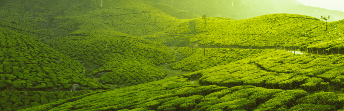
Karuvarakundu is located on a sloping region near a forest. The mountains of the Western Ghats, which reach a height of 1250 metres above sea level, are located in the southeast of the Karuvarakundu Panchayath. The Olippuzha river, the longest river flowing through Karuvarakundu,[citation needed] originates in these mountains. The river Kallanpuzha, which also flows through Karuvarakundu, originates at a height of 1050m. The Karuvarakundu Panchayath covers an area 64.2 km2 and is part of the Nilambur subdivision of the Malappuram district. It is one of the main agricultural areas of the Malappuram district. It includes Kerala Estate, and shares borders with Amarambalam and Puthur (Palakkad) in the north, Puthur Panchayath in the east, Alanallur in the south and Kalikavu, Tuvvur, and Chokkad in the west
Socio-Economic
Most of the residents of Karuvarakunduperform agriculture and buisiness as their way of income.There are also individuals who working abroad countries to obtain income.
Ecology
Karuvarakundu is known as the Jamshedpur of south India because of its extensive mining history. The Malabar rebellion of 1921 led to riots in Karuvarakundu. Karuvarakundu A small town situated in the eastern part of Malappuram district, Karuvarakundu is so close to the mighty Western Ghats. Nearby places include Manjeri, Melattur and Kalikavu. The Olippuzha River, which is a tributary of the Kadalundipuzha, flows through the town of Karuvarakundu.
Tourism
Karuvarakundu is located on a sloping region near a forest. The mountains of the Western Ghats, which reach a height of 1250 metres above sea level, are located in the southeast of the Karuvarakundu Village. Main attractive tourist places in Karuvarakundu are given below Keralamkundu waterfall Cherumb Eco Village Anginda peak Thareeqath Dargah of late Hyderabadi saint Baroda waterfall Vattamala vattamala waterfall Madhari waterfall