About Village
Vengara Village is in Tirurangadi Taulk, Malappuram district of North Kerala. It is located 12 KM towards west from District head quarters Malappuram. The village office located at Kacherippadi, which is on kooriyad- Malappuram state highway. It is 2 KM away from Vengara bus stand. Total area of the village is 4587.60 hectares. The village share its boundary with Kannamangalam village in north, Peruvallur village in north-west, Parappur and Edarikkode villages in south, Oorakam in east and Tirurangadi in west.
Demography
Islam, Hindu and Christian are the major religion in village. Majority of the villagers are Muslims followed by Hindus and Christians. Very few are noted as atheists and have no religion.
Geography
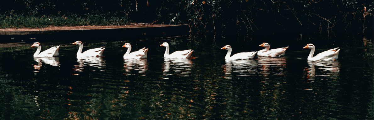
Vengara is spread on the banks of Kadalundi River, the third-longest river in Malabar after Bharathappuzha and Chaliyar
Socio-Economic
The population is predominantly Muslims followed by Hindus, with few Christians.The major source of income is remittances from family members employed in Gulf countries. Other occupations include retail and agriculture
Ecology
The common and endemic ecology of the malabar midland region exists here. But it is now reduced due to invasive species and human activities.
Tourism
Kuttoor kaitha thodu and Acara kulam are local tourists spots in Vengara village. The side wall of Kuttoor kaitha thodu is built from organic materials like jute sacs. This water canal flows through the paddy field is a scenic beauty. Acara kulam is a pond of 1 acre in vengara village. Both spots are visited by a number of local tourists.