About Village
Cheruthazham is a village under Payyanur Taluk , Kannur District.The total area of Cheruthazham Village is 32.18 sq. Km. A portion of the National Highway 17 passes through the village. The village office was the bungalow used by the British in the early days. The village office is currently housed in a new building inaugurated by the Hon: Revenue Minister Sri. K E Ismail in 2001. Kunjimangalam, Ramanthali, Ezhome, Kadannapally and Madai villages in Payyanur Taluk share border with Cheruthazham village and also Pariyaram Village in Taliparamba taluk.
Demography
According to the 2011 census, out of the total 29348 in the village, 13571 are males and 15777 are females.
Geography
The northern boundary of the village is the Perumba river and the southern boundary is the Ramapuram river.
Socio-Economic
Most of the people in the village are engaged in agricultural work .
Ecology
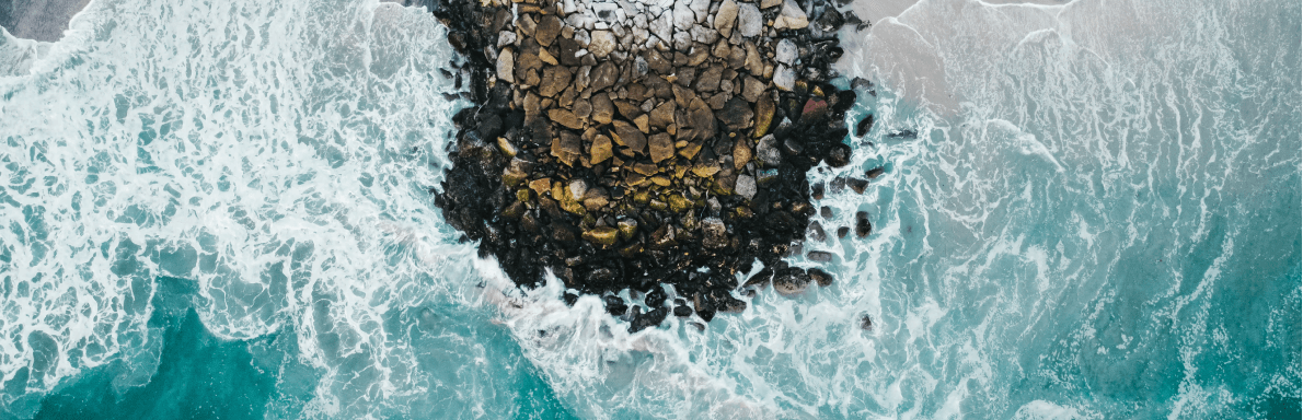
Cheruthazham Village consists of a large number of paddy fields, wetlands and mangrove forests.
Tourism
Vayalapra Park is a scenic and beautiful park built on the Chemballikundu river with boating and rowing. Park is constructed by the conservative manner to protect the mangrove forests. In addition, the Bhaskaran Peedika field is beautified by a vast wetland and amber field.