About Village
In the old days, the kingdom of Kottayam was allotted to a Kshatriya family from Kollam in the area from Korappuzha to Kasaragod. Kottayam is a country comprising present day Thalassery taluk, parts of Kannur and Taliparamba taluks and parts of Wayanad district. Koothuparamba is a town located in the Kottayam district of Kerala. It is believed that the place where Koothu was performed was known as Koothuparambu by the king of Kottayam during the reign of the Kottayam king. Koothuparambu is the place where the present Pazhassi Irrigation Office and the Circle Co-operative Union Office are located as per the FMB in the Revenue Record. Adjacent to the city are the Koothuparambu Thalassery Road on the east side of the Village Office, BEMP UP School on the west side, the Municipal Office on the south and the Koothuparambu General Hospital on the north.
Demography
As per Census 2011 population was 28907
Geography
Assembly constituency: Koothuparambu Lok Sabha constituency: Vadakara Local Self Government: Koothuparambu Municipality Area: 16.76 sq km Population density: 1725 / chki m Timezone: UTC + 5.30 Boundaries of the Village 1. North Mangattidam Village 2 South Patyam Village 3 East Mananderi Village 4 West Kottayam Village
Socio-Economic
The area where the present stadium, court, police station, hospital, block office and inspection bungalow at Koothuparamba were located was the base of the British Army. That is what is known as cantonment. The King of Kottayam allotted land for the cantonment to withstand the attacks of Hyder Ali and Tipu, the kings of Mysore. Maroli Kunjikannan was a famous person in Koothuparamba. The astrologer decided to build a pond and inn as a charity to cure leprosy from his family. Accordingly, an application was made to the Malabar Collector and land was allotted in the heart of Koothuparamba. The pond and inn were built in 1904 and opened to the public. Marolighat and the pond should be developed as a historical monument of Kuthuparamba.
Ecology
Intermediate land
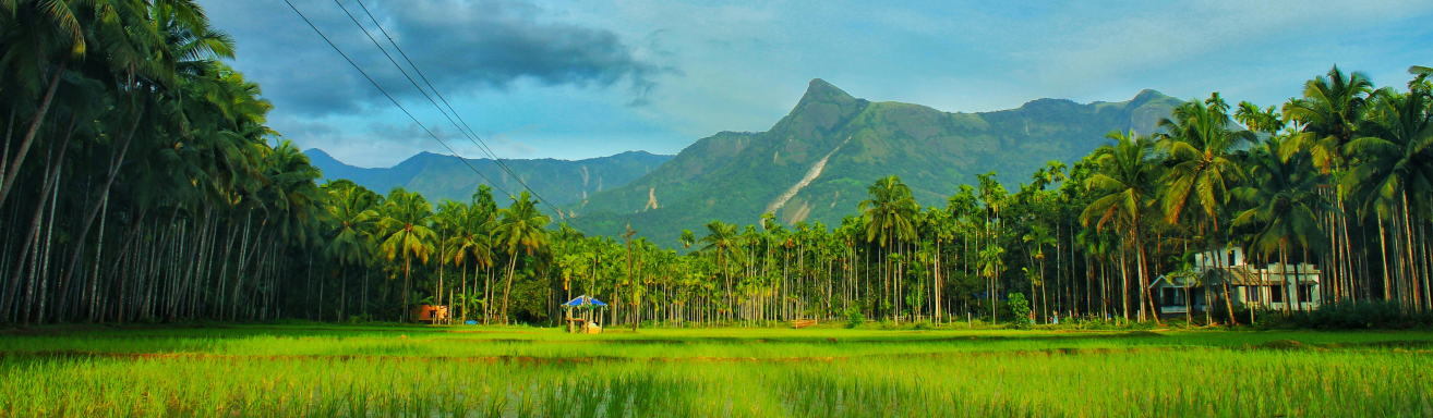
Tourism
Marolighat