About Village
Angadi village is located in Ranni Taluk of Pathanamthitta district in Kerala, India. It is situated 1km away from sub-district headquarter Ranni and 22km away from district headquarter Pathanamthitta. As per 2009 status, Ranni Angadi is the gram panchayat of Angadi village. Pathanamthitta is nearest town to Angadi which is approximately 20km away.
Demography
Angadi has a total population of 14,855 people , male-7079, female-7776
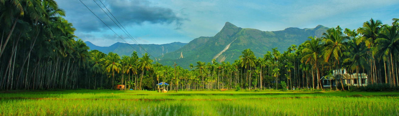
Geography
The total geographical area of village is 2087 hectares 68are86sq There are about 3,989 houses in Angadi village. As per 2020 status, Angadi villages comes under Ranni assembly & Pathanamthitta parliamentary constituency. Angadi has Valiyakkavu reserve forest
Socio-Economic
Hindu , Christian ,Muslim are the majaor dominant religions in Angadi
Ecology
Angadi shares border with Pamba river on south Ayroor Village on West ,Valiya thodu and Pazhavangadi Village on east and Perumpetty village and Valiyakavu Reserve forest
Tourism
Aruvickal water falls which is 3.5km away from Petta is one of the main attractions in angadi other attractions include St.Thomas knanaya valiya palli, Angadi Valiya Juma masjid , Shaliswaram temple for their festivals