About Village
Periyar village is located in Peerumade Tehsil of Idukki district in Kerala, India. It is situated 21km away from sub-district headquarter Peermade and 98km away from district headquarter Painavu.
Demography
According to Census 2011 information the location code or village code of Periyar village is 628109.Periyar has a total population of 22,978 peoples. There are about 5,749 houses in Periyar village.
Geography
The total geographical area of village is 5098 hectares
Socio-Economic
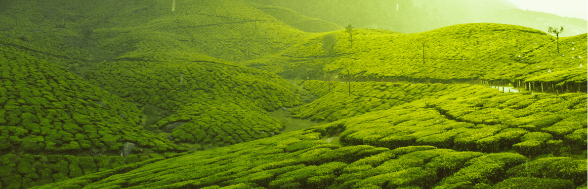
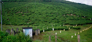
Most are plantation laboures. Tamil migrants are the main laboures
Ecology
The temperature varies depending upon the altitude and it ranges between 15°C in December and January and 31°C in April and May. Annual [Precipitation (meteorology)|precipitation] is between 2000 and 3000 mm, about two-thirds occurring during the [southwest monsoon] between June to September. Much of the rest occurs during the [northeast monsoon] between October and December. Summers are warm with some precipitation in April and winters are cold.
Tourism
Periyar National Park lies in the middle of a mountainous area of the Cardamom Hills. In the north : The boundary commences from the point nearest to the Medaganam in the interstate boundary up to Vellimalai. and the east Thence the boundary follows the inter-state boundary from Vellimalai to Kallimalai Peak (G.O. (P) No.65/2003/F&WLD dated Thiruvananthapuram, 20 December 03) (1615 M) it is bounded by mountain ridges of over 1,700 m (5,600 ft) altitude and toward the west it expands into a 1,200 m (3,900 ft) high plateau.