Goverment of Kerala
Revenue Department
Kalliasseri
Village Office
Official Web Portal
Goverment of Kerala
Official Web Portal
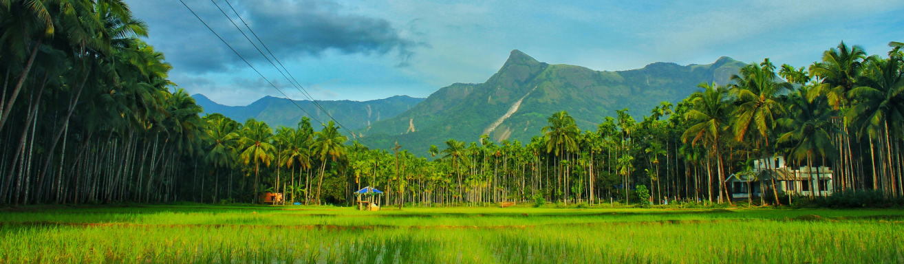
Kalliassery is a village situated on the National Highway 66 which extends up to Matool river on the western border.Two major roads viz NH 17 and Kannur-Payyannur Highway goes through Kalliasseri. A major portion of Kalliasseri is surrounded by the Anthoor Municipality. Kalliasseri shares borders with Pappinisseri to the south-west, Kannapuram to the north and Anthoor to the East. Having an area of 15.37 km2, 40% of Kalliasseri Panchayath is a part of middle land and 60% comes under Coastal Plain. The highest point of Kalliasseri is Kalapram Motta, near the northern boundary of the panchayath. This point gives a view of the paddy fields and coconut groves of Kolath vayal. The Kandanchira Thodu, starting from chudala motta, near Kannur Engineering College, flows along from east to west of the panchayath, to which another stream which flows out from Kunhikulam and joins near Parakkadav. This streamlet reaches Irinav, where it is called Irinav puzha, and at its mouth a saline water regulator was constructed, connecting the islet of Madakkara. Recently, this was converted into a bridge. In the last century, Kolath vayal primarily planted paddy fields, but now it almost entirely consists of coconut plantations. Mauvadi Vayal Bird Watching Point is located in Kalliassery Village, where various types of migratory birds can be seen year-round. Former Chief Minister of Kerala Sri E K Nayanar is a native of Kalliassery village.