Goverment of Kerala
Revenue Department
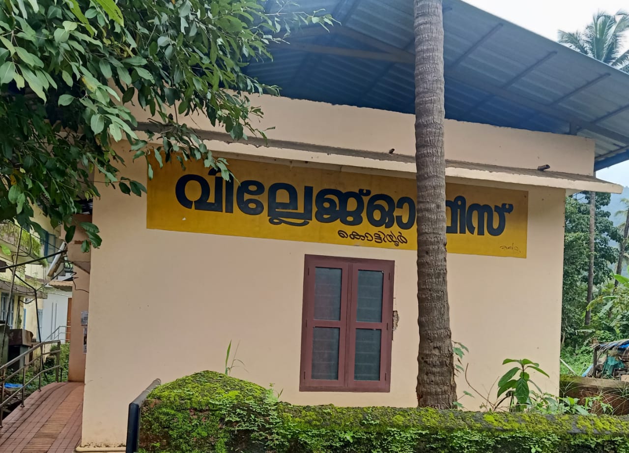
Kottiyoor
Village Office
Official Web Portal
Goverment of Kerala
Official Web Portal
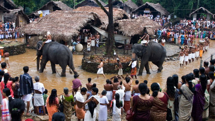
Kottiyoor Temple is a prominent Shiva temple in Kerala. Vadakkeshwaram Temple is the common name of the temple from ancient time, but some of the local people addresses the temple as Ikkare Kottiyoor as it is on the bank of the river close to the Kottiyoor village; to differentiate it from the shrine in the other side of the river. Thruchherumana Kshetram is the proper name of Kottiyoor temple. The temple is a special category temple under Malabar Devaswom board. There are two temples in Kottiyoor - one on the western bank of the Bavali river - and the other one on the eastern bank of the Bavali river. The shrine on the east bank (Kizhakkeshwaram or Akkare Kottiyoor) is a temporary[3] hermitage (Yaga shrine) opened only during the Vysakha festival. The Vadakkeshwaram or Ikkare Kottiyoor (The Thruchherumana Temple) on the western bank of the river is a permanent temple complex like all other temples. It remains closed throughout the year except for the 27 days of Vysakha festival. The temple is situated in a densely forested area amidst a sacred grove that covers about 80 acres. Mythology says that Akkare Kottiyoor, the shrine on the eastern bank of the river, was the location of Daksha Yaga, at the conclusion of which, Sati Devi immolated herself and thus committed suicide in this place. The Thruchherumana Temple was built after the Swayambhoo lingam was found; however the exact date of construction of temple is not known, the pilgrimage has been taking place for many centuries.
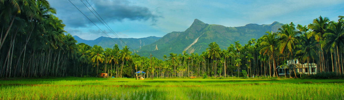
Kottiyoor is a village located in Iritty Taluk of Kannur district in Kerala.Kottiyoor village was formed in 1986 by dividing Kappad village. Boundaries of this village to the west: Kelakam Village, East: Thirunelli in Wayanad district, beyond the reserve forest. Tavinjal Villages South: Periya Village North: Hogalla Village is located in the Coorg District of Karnataka, beyond the Brahmagiri Hills, which is a forest reserve. Out of the total area of 9758.5734 ha, 6354.8637 ha is forest land, 3252.4890 ha is agricultural land and 151.0270 ha is tod, river and road outlying land. Rubber is the major crop and coconut and cashew are also cultivated.