About Village
According to Census 2011 information the location code or village code of Panamaram village is 627304. Panamaram village is located in Mananthavady Tehsil of Wayanad district in Kerala, India. It is situated 16km away from sub-district headquarter Mananthavady and 18km away from district headquarter Kalpetta. As per 2009 stats, Panamaram village is also a gram panchayat. The total geographical area of village is 2668 hectares. Panamaram has a total population of 12,683 peoples. There are about 2,916 houses in Panamaram village.
Demography
As of 2001 India census, Panamaram had a population of 11651 with 5891 males and 5760 females.
Geography
The total geographical area of village is 2668 hectares.
Socio-Economic
Agriculture is the backbone of the economy of the Village. Most of the lands in the area are used for agriculture purpose. More than half of its population are encaged in agriculture in order to earn their livelihood. Another source of economy in the Village is the cattle Farming.
Ecology
Wayanad district in Kerala is part of the Western Ghats which is one the biodiversity hot spots of the world. The western slopes of the Ghats have a natural cover of evergreen forest, which changes to moist and then dry deciduous types as one comes to the eastern slopes. The vegetation reaches its highest diversity towards the southern tip in Kerala with its high statured, rich tropical rain forests.
Tourism
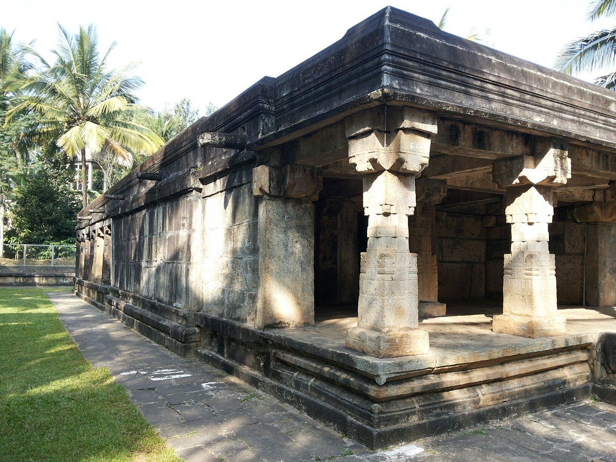
Jain Temple Panamaram is the main tourist destination of panamaram village


