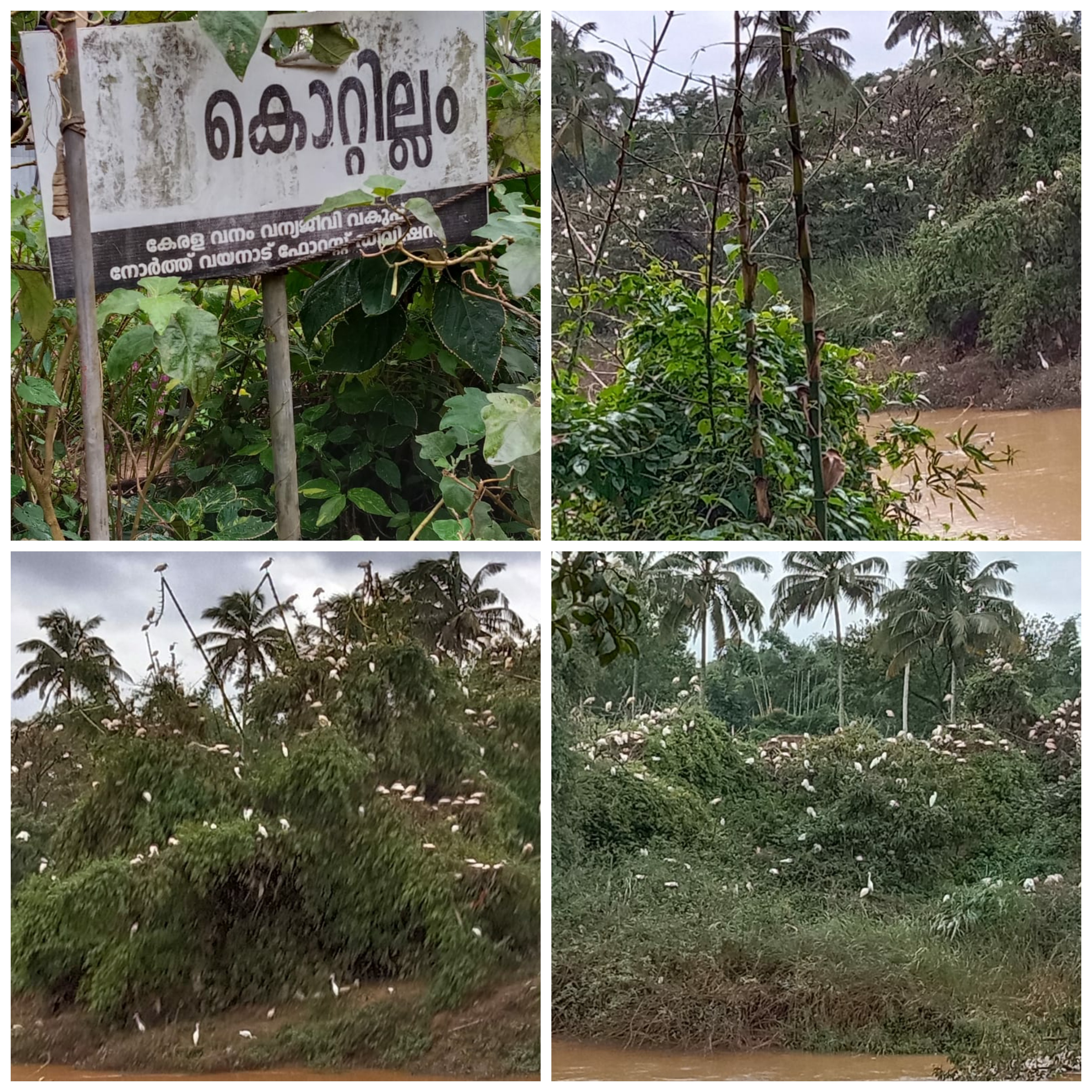
About Village
The Mananthavady and Panamaram rivers are mostly exposed to the greenery of the region. It is bounded on the east by Panamaram and Pulpally villages and on the Panamaram river, on the north by Nallur Nadu and Payyampally villages by Mananthavady river, on the south by five hills, Panamaram village and Panamaram river and on the west by five hills.
Demography
There are a total of 1809.8535 hectares of land in blocks According to the 2011 census, there are 11,462 people in 2,540 households on 1,810 hectares. There are 5724 males and 5738 females. This includes 108 Scheduled Tribes and 2397 Scheduled Tribes.
Geography
The Mananthavady and Panamaram rivers are the most affected areas as the green groves are covered with silver.
Socio-Economic
Agriculture is the backbone of the village economy. Most of the land in the area is used for agricultural purposes. More than half of the population lives on agriculture. Another economy of the village is cattle rearing.
Ecology
Wayanad district in Kerala is a part of the Western Ghats, one of the biodiversity hotspots of Kerala. Western_Ghats- Natural cover of evergreen forest, turning into wet and dry deciduous varieties on eastern slopes. At the southern tip of Kerala, the flora reaches its highest diversity, with its high altitude and abundant tropical rainforests.
Tourism
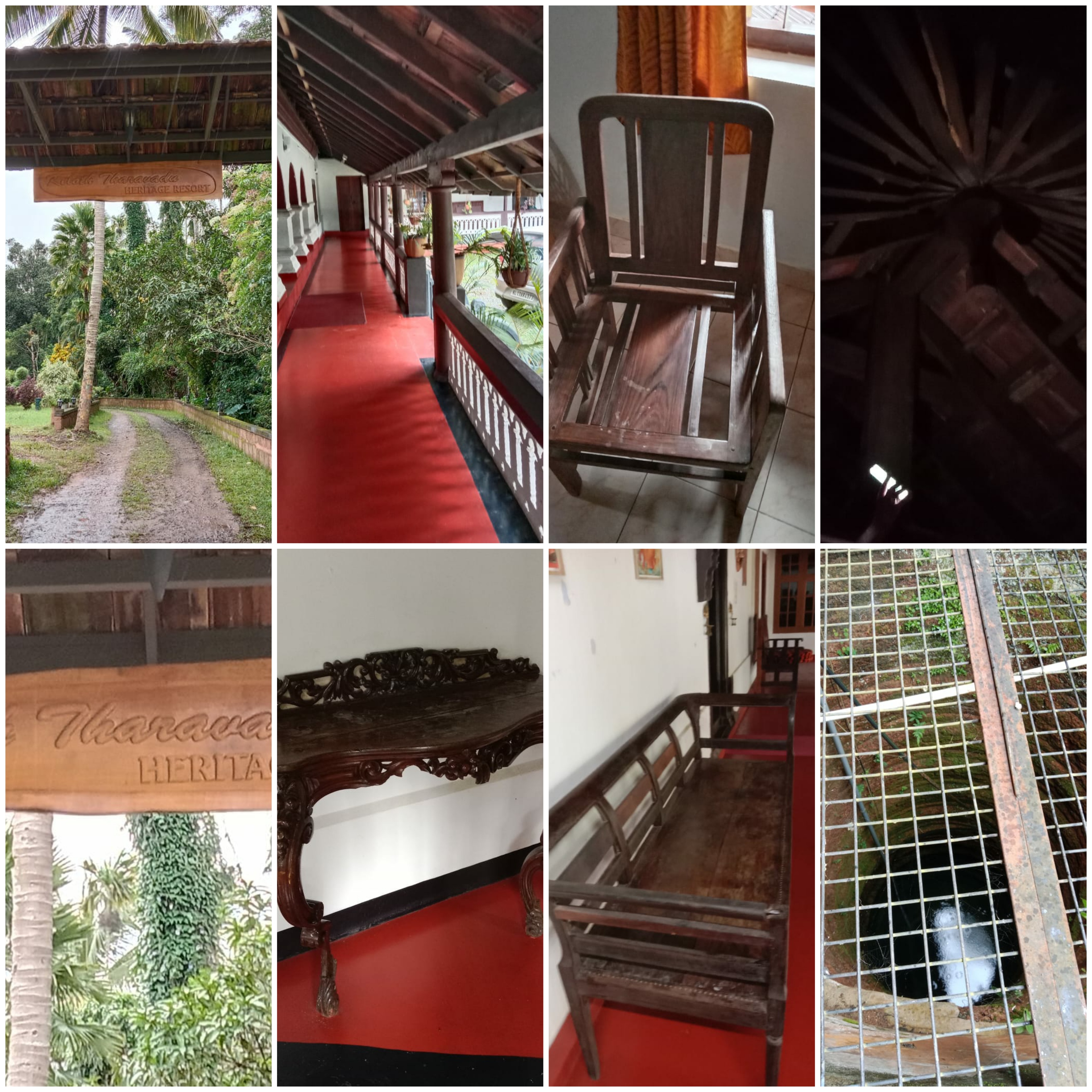
The village is a blend of historical features and tourist attractions and is home to such delightful landscapes.


